Kayrros measured spikes in carbon monoxide (CO) levels as wildfires rage through the region
As wildfires blaze through the West Coast—killing over 33 people, forcing thousands to evacuate, and destroying over three million acres of forest— the big concern is not only to pinpoint the locations where firefighting efforts should be best directed, but how the fumes will impact the air quality of surrounding communities. Recent images of city skylines against an orange background serve as a poignant reminder of this.
Earth observation technologies can help, and Kayrros measured a five-fold increase in carbon monoxide over the Sierra Nevada mountain range during the past four weeks.

To extract measurements like these, the team used the Kayrros Asset Observation Platform to process satellite imagery before fusing this data with other sources including spectral analyses. To monitor an asset on the Platform, the first step is to draw a geographical boundary around the area of interest on an interactive map. Different processing sources are then applied to extract insights from the events tracked within the area.
After drawing the asset boundaries in the Sierra Nevada mountain range, the team processed the data to extract CO measurements and build the time series in Figure 1.


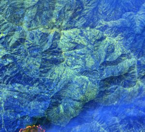
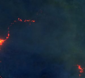
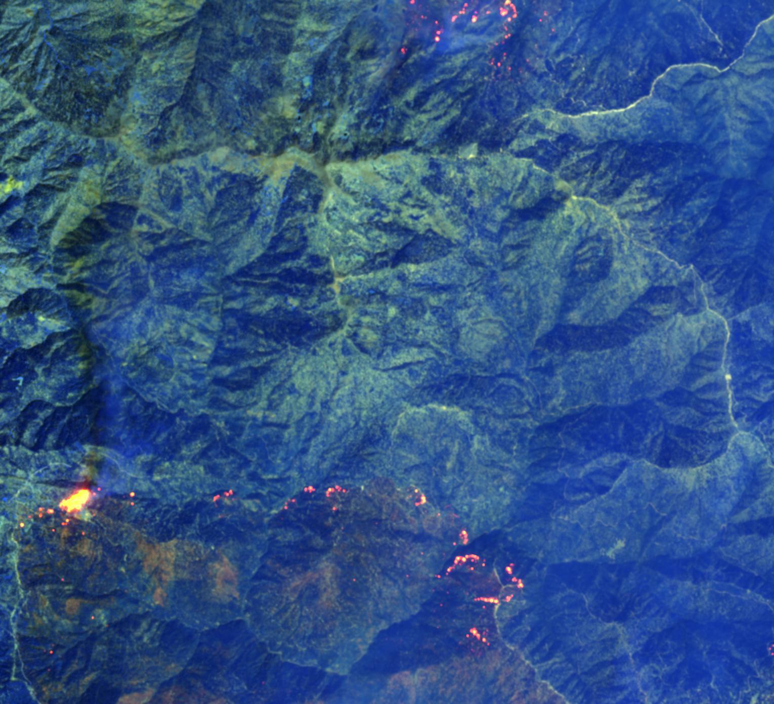
Figure 2. The same area captured and processed by the Kayrros Platform on August 25 (left) and September 9 (right). (Sources: Kayrros, Copernicus Sentinel Data)
Newly launched satellites, and in particular the ESA Sentinel-5P satellite, can be used to track gas concentrations in the areas surrounding the fires. This provides better transparency on air quality levels and highlights other consequences of the fires that may be damaging to human health.
Kayrros continues to extract measurements on the US wildfires will be flagging significant developments. For more information, please get in touch with a member of the team.

