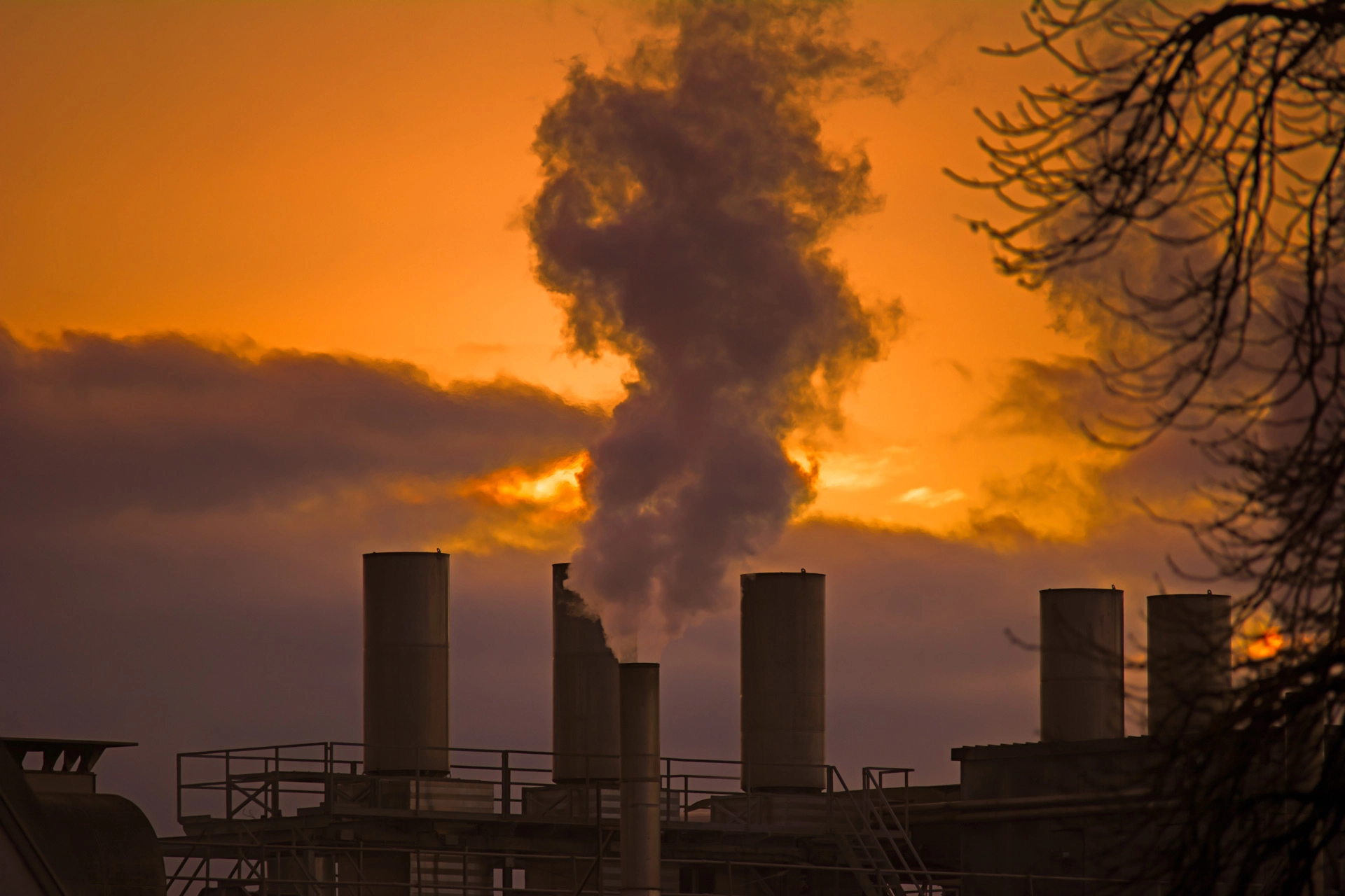
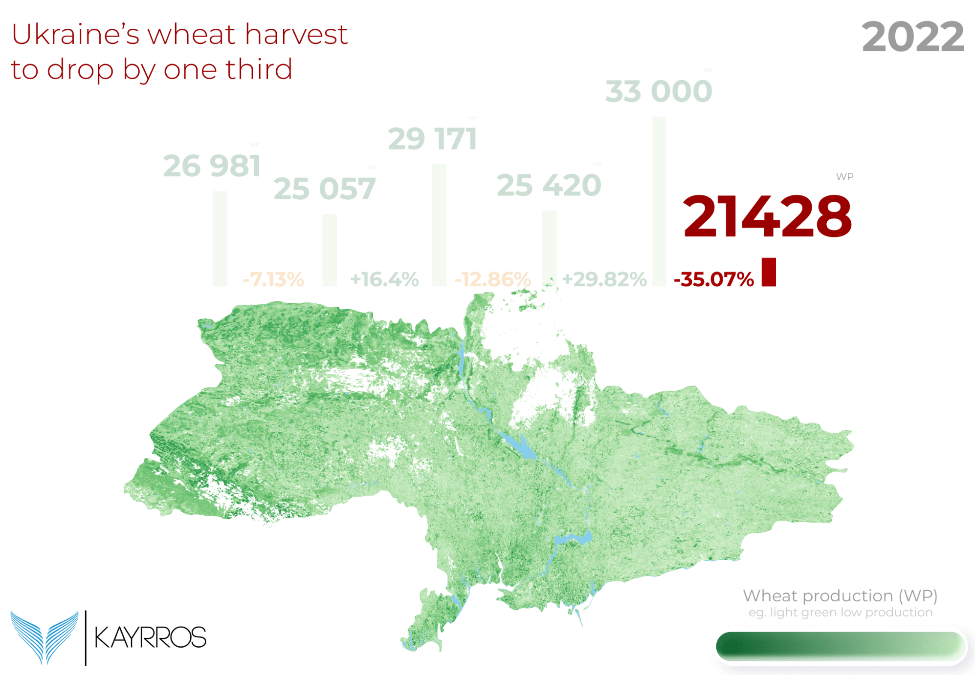

Anticipez les risques physiques liés au climat et les défis réglementaires grâce à des technologies géospatiales et d'IA indépendantes
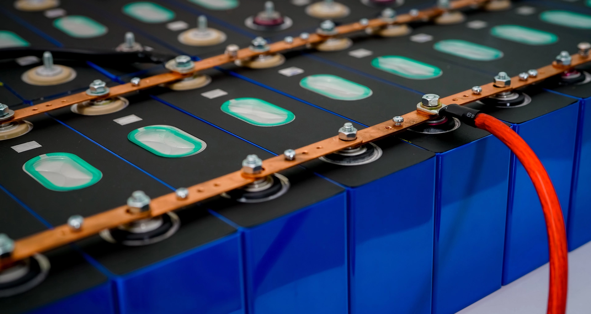
Découvrez les opportunités d'investissement et les analyses de volatilité générées par la transition énergétique, la géopolitique et la révolution de l'IA.
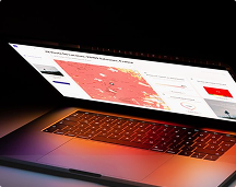
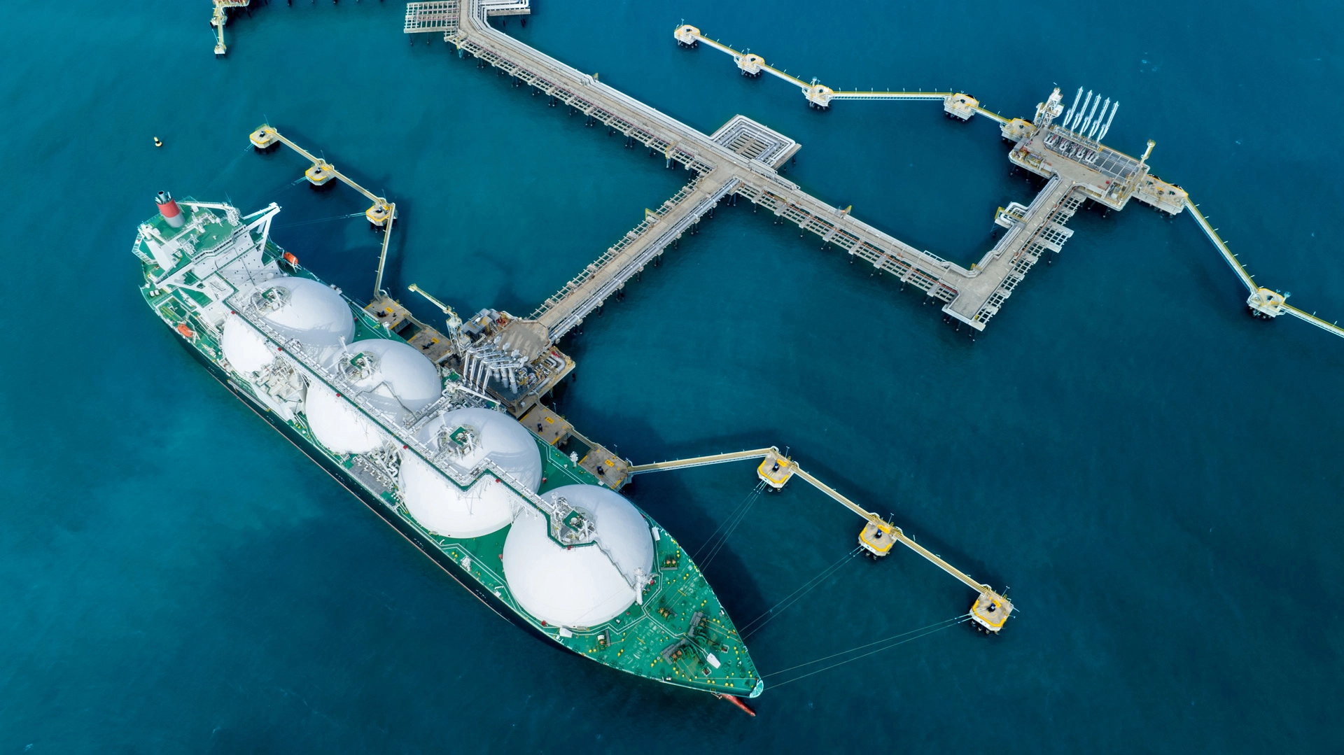
Grâce à la puissance des technologies géospatiales et d'IA de Kayrros, concevez et co-construisez des solutions sur mesure pour relever vos défis.
Anticipez les risques physiques liés au climat et les défis réglementaires grâce à des technologies géospatiales et d'IA indépendantes
Découvrez les opportunités d'investissement et les analyses de volatilité générées par la transition énergétique, la géopolitique et la révolution de l'IA.
Grâce à la puissance des technologies géospatiales et d'IA de Kayrros, concevez et co-construisez des solutions sur mesure pour relever vos défis.